
Manaslu Circuit and Tsum Valley Trek
Itinerary
Early in the morning, after having a breakfast,Traveling from Kathmandu to Machhekhola can be done by local bus or private jeep. The journey takes around 8–10 hours. Local buses are budget-friendly but less comfortable, while private jeeps offer a smoother, more flexible ride. The road passes through scenic hills, rivers, and rural villages, making it a picturesque route. Machhekhola is the gateway to the Manaslu Circuit and a key stop for trekkers starting their adventure.
Out of the two routes that divide from Machhakhola, we will choose the one that goes along the winter riverbed. Through the marijuana (ganja) fields, we will enter into the village of Khorlabesi.
The trail, then, narrows into the Budhi Gandaki ravine and crosses an overhanging cliff to arrive at Tatopani (natural hot water spring). We will pass through the monasteries, chortens, raging waterfalls, and more astounding cliffs to arrive at Dovan.
A little ahead, there is a viewpoint overlooking the gorgeous views of the mountains, distinctively the Baudha Peak. We will continue through the red-berried peppermint forest until arriving at the Thulo Dhunga, meaning a big stone.
Then, the trail trespasses a wonderful viewpoint that has long been renowned for bestowing the reminiscing views of the deep valleys, raging rivers, and gigantic snowy spires. By the time we arrive at Jagat, it would have been late afternoon.
Early in the morning, we will have our breakfast and head off towards the Philim, a nice Gurung village offering wonderful views of the Sringi Himal. Through the forest of blue pine, we will enter into some of the more exquisite viewpoints overlooking a wide panorama of the mountains.
The trail continues to follow the switchbacks until arriving at the Lokpa, the first village of the Tsum Valley. There is only one lodge at Lokpa, leaving us no other options. But, this is a nice place to chew a chat with the descending trekkers from different parts of the world.
From Lokpa, the trail passes through a dense forest to extrude out into a prodigious gorge of Sardi. Then, by descending into the bank of Siyar Khola, we will continue our journey through the pleasant forests of pine, rhododendron, bamboo, lichen, fern, and moss.
This walk is completely in a natural setting, the way one person dreams of. The soaring vultures and Himalayan Griffons cover the skyline while the views of gorgeous Ganesh Himal and other peaks constantly follow us. We will come across the high waterfalls which vanish all of a sudden to reward us with another surprise. This process continues until we arrive at the Chhumling.
Trek to Chhokang Paro (3,031 m) (5-6 Hr)
A trek to Chhokang Paro from Chumling is probably the most rewarding trek in the Manaslu region of Nepal. One can stumble across the tantalizing views of an array of mountains, distinctively Ganesh Himal I, Ganesh Himal II, and Ganesh Himal IV. But, the altitude and the terrain will make the trek more challenging.
The trail continues through the lush forest and contours around the water-driven prayer wheels in the Siyar Khola. The fleeting glimpse of Sringi Himal is magical at this point. Then, through several sweet-smelling trees of the pines, larch, and birch, we will cross the village of Gho, above which stands a line of colorful chortens. It takes about 1 hour to arrive at the Chhokang Paro from Gho. A beautiful set of 3 chortens gives the inkling of arrival at the Chhokang Paro.
A walk to Nile is a pleasant one as there are no more substantial uphill sections on the trail.
From Chhokang Paro, we will pass through a chain of chortens and Mani walls and cross a nice prayer flag-dominated village of Ngakyu-leru just to enter into the trail fenced by buckwheat and millet. Across the Siyar River, there is a beautiful Rachen Gompa which we will explore while returning from the Mu Gompa.
Within 30 mins from Ngakyu-Leru, the serene village of Burji welcomes us with the magical Milarepa's Cave (Piren Phu), which is one of the finest exploration points for trekkers. As we leave Burji, the mountains and spiky glaciers begin to show off their glamour. Churke Himal and the glacier of Kipu Himal appear so intoxicating at this point. We will continue to Chhule and then, push ourselves through the steep bluff to arrive at a striking village of Nile.
It is worth exploring the Gompas around the Nile.
From Nile, the walk continues through the river bank, across a bridge, and passes through a few chortens and Mani walls. In the pastures at Sengum and Rhomi, we could see the local people searching for the Yarsagumba (a fusion of the caterpillar and a fungus). Once we head out into the main valley, the views of the extensive glaciers, Langju Himal, Ganesh II, and Manaslu appear glamorous.
We will go on until arriving at the Mu Gompa, which is the highest settlement region of the Tsum Valley. In this Gompa (monastery), the monks perform regular meditations and annual rituals. It is a nice place to stay.
A few distances ahead, there is a spectacular waterfall to see and enjoy the surrounding vistas.
We will return to the Chhokang Paro via the same trail that we have been earlier. Plus, we will also explore the Rachen gompa that we have skipped before.
We will retrace our steps back to the Chumling from Chhukung Paro
From Chhumling, we will approach to Lokpa via the ‘Damien's corner' and head straight up towards the Deng, a nice Gurung village overlooking the gorgeous Sringi Himal. There are several chortens and mani walls.We will push ourselves down to the Budhi Gandaki bridge and continue along the ups and downs until arriving at the village of Deng.
Crossing the bridge across the Budhi Gandaki, we will arrive at the Rana, a nice village with quaint farmhouses. We will continue our journey along the east of the Budhi Gandaki River and cross another bridge at Bihi Phedi. A few distances ahead, there is a small mani wall where the images of Buddhist deities are carefully carved with great precision.
Serang Gompa is the must-visit site where ancient Tibetan paintings and the typical Buddhist culture can be witnessed. We will cross the Serang Khola and head on towards another village Ghap through the colorful farm fields. At Ghap, there is a big prayer wheel with no prayer inscriptions carved on it. Yet, the paintings on the chorten are worth watching.
We will continue through the pastures of Ghap to the village of Kwak. Soon after leaving Kwak, we will enter another pleasant forest of Rhododendron until arriving at our destination, which is Namrung. On the way, the fleeting glimpses of mountains and waterfalls inspire us to continue the venture.
The people of the Namrung are of Tibetan origin; you will notice the Sino-Tibetan dialect if you are already familiar with the Tibetan culture.
From Namrung, we will walk along the landslide-prone region to the village of Lho, where there are typical houses of the alpine region- roofed with the pine shingles. We will continue through the three-tiered chortens and the Hinang monastery to the village of Sho, where there are many rustic houses and a small gompa representing a typical Buddhist community.
We will walk across the village of Sho, traversing a Kani gate, to make an appearance at the Lho, a welcoming village dominated by the astounding views of the Kutang Himal and unparalleled Manaslu. We will stroll around the monasteries and Chortens and return to our hotel at the end of the day.
From Lho, we will descend steeply down just to rise up again through the braided streams. The trail then passes through a monastery complex- Hongsangbu Gompa- just to throw us into a wonderful viewpoint offering views of the glorious Manaslu. It would take 2 hours to arrive at Shyala.
From Shyala, one can see the reminiscing views of the Ngadi Chuli and its surrounding glacier walls. The trail then slightly climbs and then plunges down to the icy river (originating from the Pungyen glacier). When we arrived at the Pungyen monastery, we can see the descending trail to the Samagaon, which is sometimes known by the name of "Ryo".
Sama Gaun (Gaon) is a nice and quiet village adorned with the quaint settlements of the two-tiered typical Nepali traditional houses. Across the village, the stone walls line up the periphery of the farm fields to protect it from the heavy winds.
There is also a courtyard, inside of which spins a big prayer wheel surrounded by the colorful walls on all four sides. The walls are painted by the images of various Buddhist deities, particularly of Guru Rinpoche and the Sakyamuni Buddha. Also, we will see the statue of the Guru Rinpoche there.
After lunch, we will take a side trip to Pungyen monastery, which is at a higher altitude than the Sama Gaon. While this sidewalk has its own magnetism, it also aids in acclimatization. The views are simply intoxicating and you will get to witness some of the exquisite mountain vistas on the way
Walking ahead from Samdo is really difficult, although the flat-looking trail may defy your sense of judgments. It is because, at the higher altitude sections, the thin atmospheric air and the altitude pressure resists your pace of walking uphill. So, every step feels like running in a marathon.
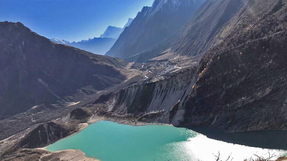
From Sama Gaon, we will travel across the stunning glacier lake, Birendra Tal, painted in the turquoise color of the sky. Few distances ahead, there comes another trail on our left that leads to the Manaslu Base Camp. We don't stop here, but instead, we will go through the aromatic woods of rhododendron. On the way, there are many beautiful mani walls and chortens encouraging you to continue your journey to the end. At some point, you will see the unforgettable glimpse of a stunning Samdo Peak. It appears very much exotic.
A beautiful Kani Gate welcomes us to the village of Samdo.
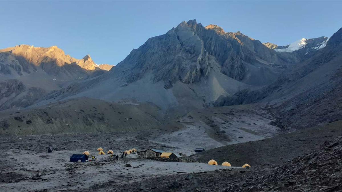
It is an interesting journey with excellent views of the mountains and glaciers on the way. However, to start off the trek hurriedly will make you suffer from various altitude-related complications. Therefore, walk slowly and easily across the snowy bluffs until Dharamsala (Larkya Phedi).
From Samdo, the trail goes through the ancient trading route of Larkya Bazaar, and then, ascends to a few ravines on the way. The glittering Syache glacier will help you to enjoy the serenity of the Himalayas. What's more, the mount Manaslu could be witnessed very close to the eyes at some point on the trek. It is a very enjoyable journey.
The name Dharamsala is popular instead of Larkya Phedi because there are many Dharamsala's around the Larkya Phedi. Dharamsala is the pilgrimage resting house.
From Larkya Phedi, the trail climbs steeply and sometimes, gradually through a small meadow and gorgeous glaciers on the way. Down the icy lake, the views of the Manaslu Peak, Larkya Himal and some other ranges are truly reminiscing.
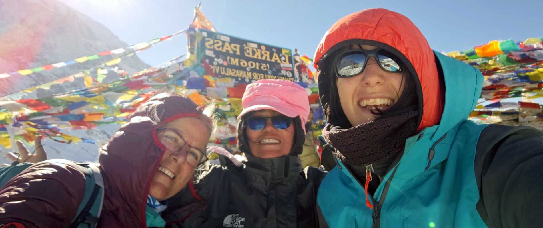
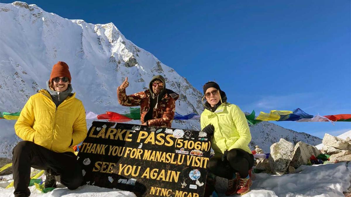
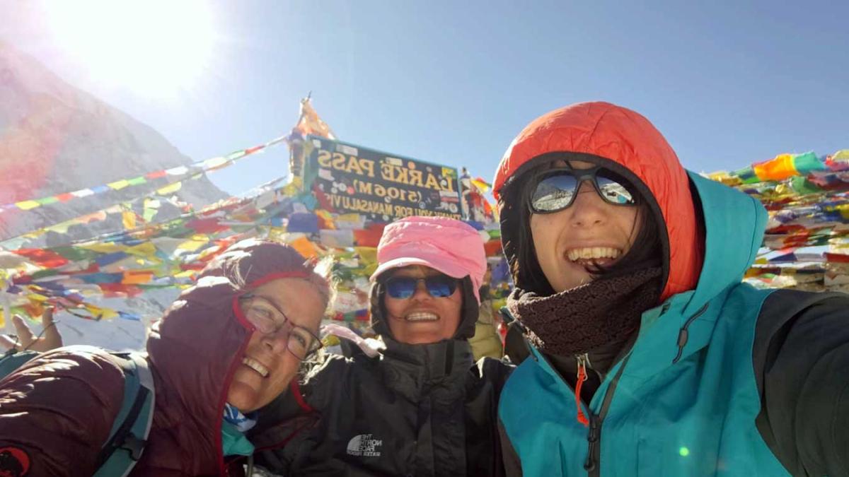
We will go through the frozen lakes and several sensational viewpoints until arriving at the Larkya pass (5160 m). The altitude sickness can be an issue here, so breathe properly and descend to the lower altitudes as quickly as possible because there is no better remedy for altitude sickness other than to descend to lower sections.
The trails are slippery by the snow. A trek to Bimthang is one of the most rewarding treks to get surprised by the Himalayan beauties. However, the more you approach Bimthang, the more you get welcomed by the greenery and pleasant forests of the Juniper, Birch, and the Rhododendron. It is a long day
From Bimthang, the trail contours around a moraine for about 30 mins and then, crosses the main bridge, spanning across the width of the Dudh Khola River. From the top of the moraine, the views of the Larkya Himal, Manaslu North, and sky-piercing Phungi are sensational.
What is so interesting about this walk to Tilije is the dense forest of cedar, blue pine, oak, birch, and rhododendron, covered by snow on the rocky slopes of the Manaslu and Phungi. This forest is said to be over 1000 years old. We will cross some amazing icy spires and vivid forests of rhododendrons on the way to make an appearance at Yak Kharka.
We will continue through the woods and cross a bridge across the Suti Khola, descending from the Suti glacier. It takes just a couple of hours to arrive at Gho, a wonderful Gurung hamlet. From Gho, Tilje is not very far away.
From Tilje, We can take a local jeep to Besisahar, which takes about 3–4 hours, passing through rugged mountain roads and charming villages. The ride offers scenic views of hills, waterfalls, and terraced fields. Upon reaching Besisahar, a local bus can be taken to Kathmandu or Pokhara or Chitwan , which takes around 4–8 hours depending on the city and road conditions. While the journey is long and can be bumpy at times, it provides a great opportunity to experience local life and landscapes. Choosing local transport is cost-effective and suitable for adventurous travelers who prefer authentic and budget-friendly travel experiences in Nepal.
Overview
Tsum Valley is the heart of the Manaslu Region where everything is free, happy, and lively. The laws of nature behold its order in harmony and each step drags you to new natural surprises. The outstanding mountain vistas, glittering glaciers, raging rivers, unparalleled views of the colorful forest of rhododendrons, turquoise glacial lakes, daring waterfalls, remarkable monasteries, vibrant shortens, intricate paintings of Buddhist deities, and hospitable people, all sum up to define this glorious Tsum valley of Manaslu.
Despite receiving thousands of visits from hundreds of explorers and trekkers, the natural wealth of the Tsum Valley has remained unblemished and sublime as if nobody had ever seen it. It is a perfectly natural experience to investigate the hidden secrets of the Tsum Valley. You will always find something new and special to keep you engaged no matter how many times you visit this place.
Tsum Valley is the gold of the mountains.
Planning:
The Manaslu Circuit & Tsum Valley Trek is a thrilling adventure, but they demand careful planning owing to their difficult nature. Trekking entails obtaining required permits, selecting the appropriate season, planning a detailed trekking itinerary, considering hiring a local guide and porter, physical training, acquiring appropriate gear and equipment, preparing a comprehensive packing list, understanding altitude sickness prevention, obtaining travel insurance, ensuring access to safe food and water, arranging for communication and emergency equipment, budgeting for expenses, and practicing responsible trekking. On this difficult high-altitude trek over the Himalayas, adaptability and safety are essential.
The Best time to do the Manaslu Circuit & Tsum Valley Trek:
This trip offers a spectacular tapestry of colors and smells throughout the spring (March to May). The weather remains steady, with pleasant temperatures during the day. Rhododendron woods blossom, providing a stunning background for your hike. Clear skies are common, allowing for unhindered views of the towering peaks.
Autumn (September to November) is another excellent option. This time follows the monsoon season and delivers dry and steady weather. The monsoon rains have left the paths lush and verdant, painting the scenery. The sky is consistently clear, allowing for breathtaking mountain views. The pleasant hiking conditions are made possible by the cold but comfortable temperatures.
The Manaslu Circuit & Tsum Valley Trek is not suggested during the monsoon season or the summer season (June, July, and August). Furthermore, the cold of winter (December, January, and February) is intolerable for the average trekker.
Food and Accommodation:
Teahouses and guesthouses primarily offer nutrition and shelter along the Manaslu Circuit and Tsum Valley Trek. These lodges provide a variety of lodging alternatives, ranging from simple rooms with communal amenities to slightly more comfortable rooms with attached baths in certain cases. The rooms are basic, with twin beds, blankets, and occasionally heating stoves, but they lack luxurious facilities. Teahouses provide a range of meals, including traditional Nepali foods such as Dal Bhat as well as some foreign selections. You may also get typical foods like spaghetti, noodles, and pizza. It's a good idea to eat vegetarian meals to limit the danger of foodborne infections, and packing snacks and energy bars for rapid nutrition while hiking is a good idea.
It is also recommended to consult your guide for better and hygienic options.
Transportation:
This hike usually begins in Maccha Khola(the starting point of the Mansalu trek). Our tour begins in Kathmandu, where we will take a public bus(which is easily accessible at Gangabu) or a private vehicle (Jeep) to Soti Khola. We will hike to Maccha Khola once we arrive. From here, we'll continue on foot, following the Manaslu Circuit Trek track. As you make your way to Jagat trek through diverse villages, terraced fields, woods, and finally higher heights.
Manaslu Circuit and Tsum Valley Trek normally conclude at Tal, where a local Jeep takes you to Besisahara. There are two ways to travel back to Kathmandu from Besisahar. First, take the public bus, which will take approximately 7 hours, or a private vehicle (4 hours), which will cost extra because it is not included in this package.
Necessary Permits & TIMS:
To limit tourism in the Manasalu Region (between Jagat and Dharapani), the Nepal government recently decided to prohibit solo travel. As a result, solo trekkers are not authorized in Manaslu, and hikers in this zone must get special entry permits. The government has also enacted legislation mandating at least two hikers in a group to be accompanied by a local guide.
In this location, three types of permits are required to enable your admission into the restricted area and to assist conservation efforts. A TIMS permit may also be required for this journey. A licensed agency must process these permits.
(Freelance guides are unable to obtain the appropriate permissions for the Manaslu Circuit.)
1. Manaslu Conservation Area Project (MCAP):
You must first get a Manaslu Conservation Area Project (MCAP) Permit before visiting the Manaslu area. This authorization is required to visit the Manaslu Conversation Area from Philim.
Cost: Nrs 3000 per person. There are no restrictions or pricing changes based on the number of days spent inside MCAP.
2. Annapurna Conservation Area Project (ACAP Permit):
For trekkers and visitors to access the Annapurna Conservation Area (ACA) in Nepal, an ACAP Permit is necessary. This permission is required from Dharapani till your departure from ACAP in Beshi Sahar.
Cost: Nrs 3000 per person. There are no restrictions or pricing changes based on the number of days spent inside ACAP.
3. Special Restricted Area Permit for Manaslu (RAP):
The Restricted Area Permit (RAP) for Manaslu is a legal document issued by the Nepalese government that permits trekkers to access and trek in specific restricted areas, such as the Manaslu region. This Manaslu trek permit is required from Jagat to Sama Gaun. To access Tsum Valley, you must also have this permit.
Cost: USD 100 per person for the first seven days (September to November), plus an additional USD 15 per person per day starting on the eighth day. Whereas USD 75 per person for the first seven days (December to August) and an additional USD 10 per person per day commencing on the eighth day.
An extra fee of USD 40 per person per week is required for the Tsum Valley special permit and an additional USD 7 per person per day(September to November). Similarly, USD 30 per person per week, and an additional USD 7 per person per day (December to August).
4. Trekker's Information Management System (TIMS):
The Annapurna Circuit Trek needed a Trekker's Information Management System (TIMS) card. TIMS is necessary since it helps hikers ensure their safety and security when hiking in the Himalayas.
Cost: Around Nrs 3000 per person and for SAARC tourists Nrs 1000 per person.
(All the Permits and TIMs cards are included in this package.)
Necessary Documents for Permits and TIMs:
- 2 Passport-size photos (For ACAP and MCAP permits)
- One scanned photograph (to be uploaded for Tsum Valley RAP's online form)
- Photocopy of your passport (with at least six months validity)
- Travel insurance papers (includes helicopter evacuation of up to 6000m)
- Nepal tourist visa and original passport (required for Department of Immigration, Nepal)
Highlights
- Stunning vistas of Manaslu and other Himalayan peaks.
- Encounter Gurung, Tamang, and Tibetan communities.
- Explore a culturally distinct and spiritually rich valley.
- Conquer Larke Pass and other high passes.
- Visit ancient monasteries along the trek.
Cost Details
- Airport pickup and drop service
- Accommodation in Kathmandu (Hotel Chhimeki 2nights)
- All food during the trek (B, L, D included)
- Accommodation during the trek
- Transportation, drive from Kathmandu to the Trekking starting Point and Ending Point by Local bus.
- Government licence holder English speaking trekking guide.and His salary, lodging, food, and insurance.
- Trekking permits: Manasalu and Tsum valley Special Permit (7+7 days only), Manaslu & Annapurna Conservation Permit.
- First aid medical box.
- T-shirt, Duffel Bag and Trekking Map with company logo
- Rescue Management Service
- All Tax (13% VAT and 10% company service charge)
- Farewell Dinner
- All kinds of Drinks
- Visa fee to enter Nepal
- International flight tickets
- Extra night accommodation and meal costs in Kathmandu due to any change in the scheduled itinerary.
- All required trekking gear like sleeping bags and down jackets made available for rent.
- Porter (1 porter for 2 trekkers with a max load of 17 to 20kg). for a carry bag.
- Private Transportation jeep/car.
- Travel insurance/ Rescue operation costs
- All personal expenses
- Tip for guide and porters
Dates & Pricing
Trip Start and End Point
Kathmandu / Kathmandu
| DATES | STATUS | PRICE | SPACE LEFT | ||||
|---|---|---|---|---|---|---|---|
|
Start date: 07-Aug, 2026
End date: 25-Aug, 2026 |
Guaranteed | USD 2145 |
1
|
Book Now | |||
|
Start date: 28-Aug, 2026
End date: 15-Sep, 2026 |
Guaranteed | USD 2145 |
1
|
Book Now | |||
|
Start date: 01-Oct, 2026
End date: 19-Oct, 2026 |
Guaranteed | USD 2145 |
1
|
Book Now | |||
|
Start date: 21-Nov, 2026
End date: 09-Dec, 2026 |
Guaranteed | USD 2145 |
2
|
Book Now | |||
|
Start date: 02-Dec, 2026
End date: 20-Dec, 2026 |
Guaranteed | USD 2145 |
2
|
Book Now | |||
Equipment List
- Woolen shirts and thick sweaters.
- Jackets (Fiber or down).
- Waterproof jacket with hood or poncho.
- Tracksuit, Track shoes and Trousers.
- Thermal Underwear and Thermal Coat.
- 2pair of loose-fitting long shorts/ skirts.
- Pair of Gloves and sandals.
- Woolen hat and long-sleeved shirt.
- Lightweight walking boots.
- 2 pairs of thin socks and 2 pair of woolen socks.
- Snow glasses and sunglasses.
- Trekking Sticks and Duffle bag or kit bag to carry to gear while trekking.
- some (small/large) plastic bags to separate clean clothes from dirty ones and some smaller plastic bags to dispose of garbage.
- Daypack bag to carry your personal requirements.
- Water Bottle, water purifying tablets.
- Towels, Umbrella (optional).
- Headlamp, Binoculars, Camera, trekking map and compass, reading materials, pencil, rubber, pen, notebook, and moisturizer for lips, face body
FAQs
This trek combines the rugged beauty of the Manaslu region with the spiritual serenity of Tsum Valley, an isolated Himalayan sanctuary rich in Tibetan Buddhist culture, ancient monasteries, and stunning mountain views.
The trek features dense forests, glacial rivers, high-altitude pastures, and dramatic mountain passes, with opportunities to spot Himalayan blue sheep, musk deer, and even snow leopards in remote areas.
Tsum Valley is a sacred Buddhist region with centuries-old monasteries, meditation caves, and traditional Tibetan villages, offering a more peaceful and culturally immersive experience compared to the main Manaslu Circuit.
The trek offers basic teahouses and homestays in Tsum Valley, while the Manaslu Circuit has slightly better facilities with teahouses in most villages. Camping may be required in very remote sections.
Yes! The Manaslu Circuit and Tsum Valley Trek offer a quieter, less commercialized experience, with breathtaking Himalayan scenery and a strong cultural essence, making it a great alternative to the busier Annapurna Circuit.
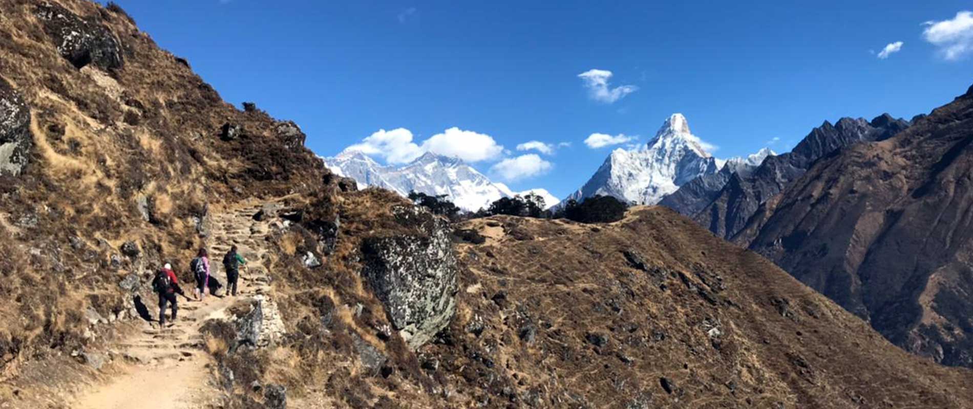
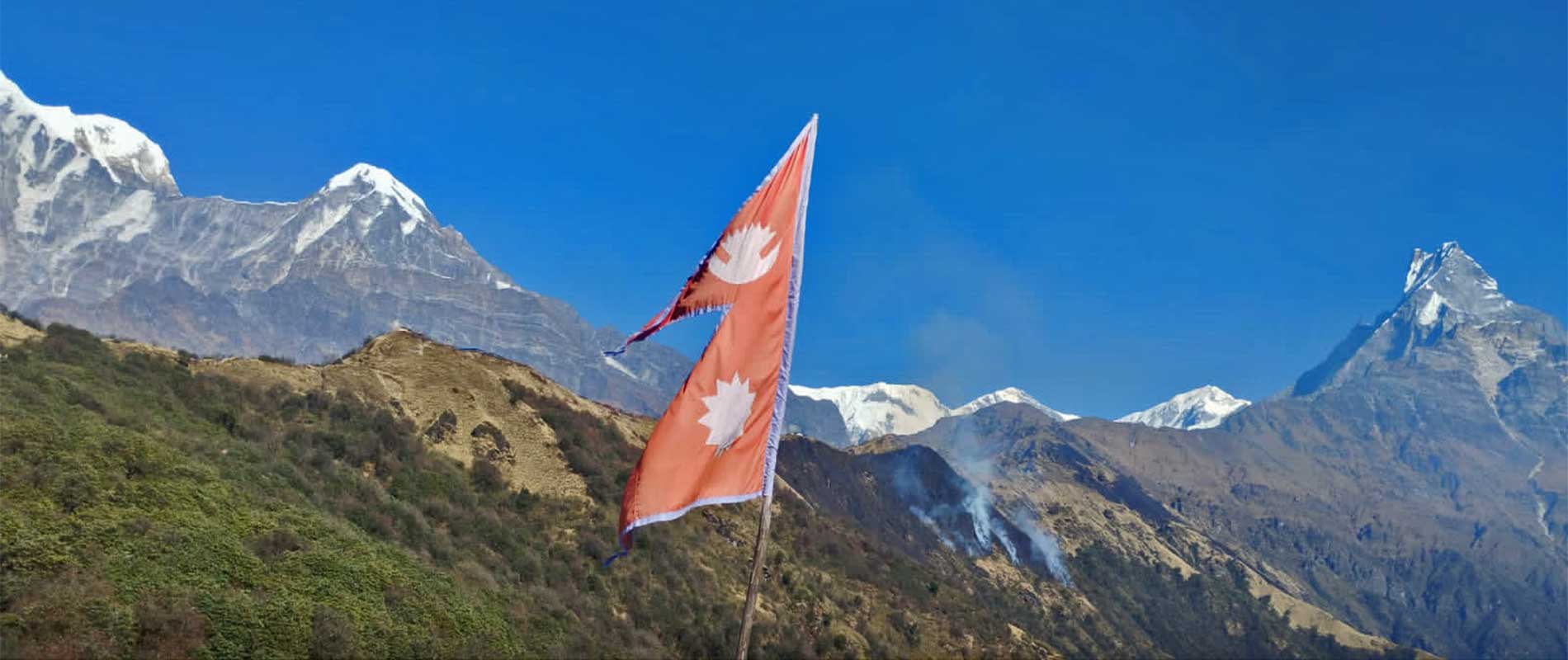
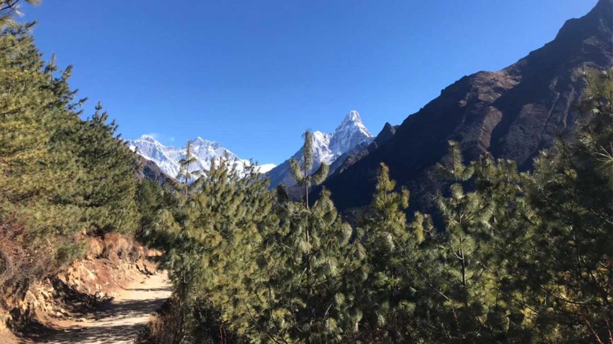
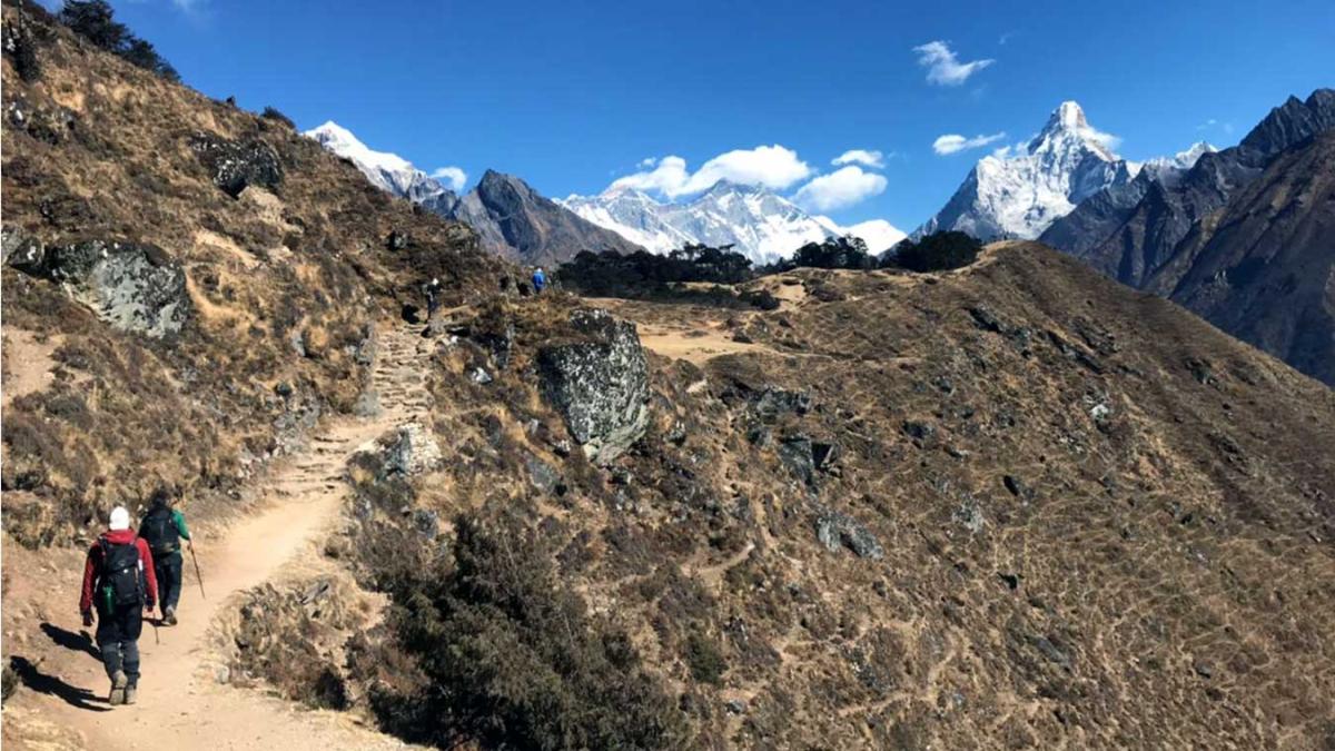
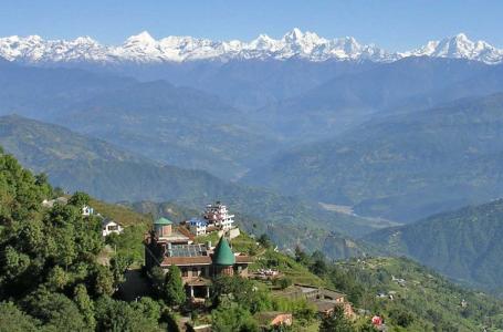
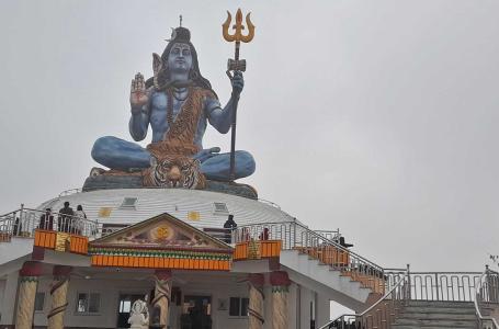
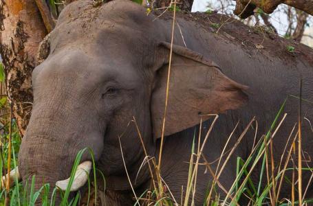
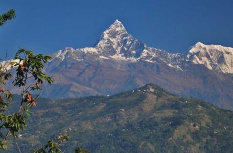
Trip Gallery

Leave Your Review
Related trips you might interested in
Short Everest Base Camp Trek
Luxury Tour in Kathmandu
Kathmandu Nagarkot Bhaktapur Tour
Kathmandu, Pokhara & Sarangkot
Kathmandu, Pokhara, and Chitwan Tour
Kathmandu, Pokhara, Australian Base Camp
